Hiking suggest
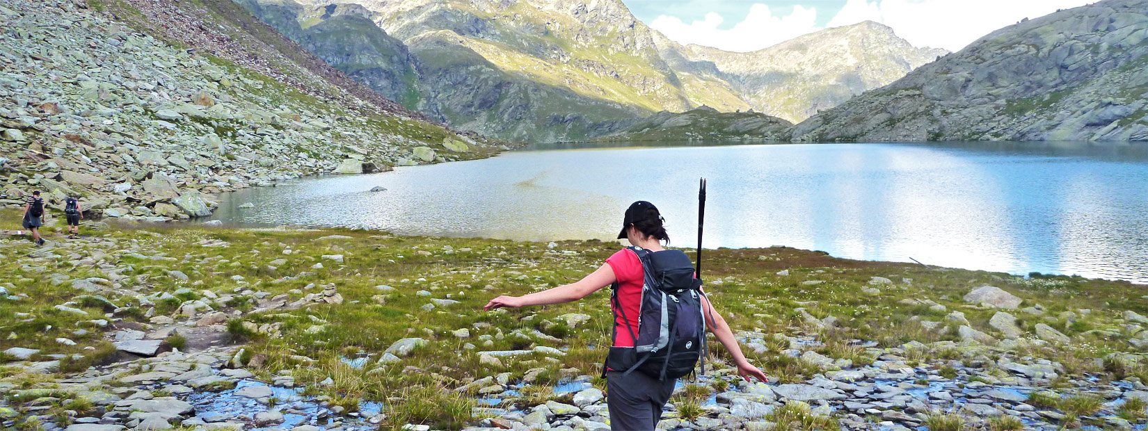
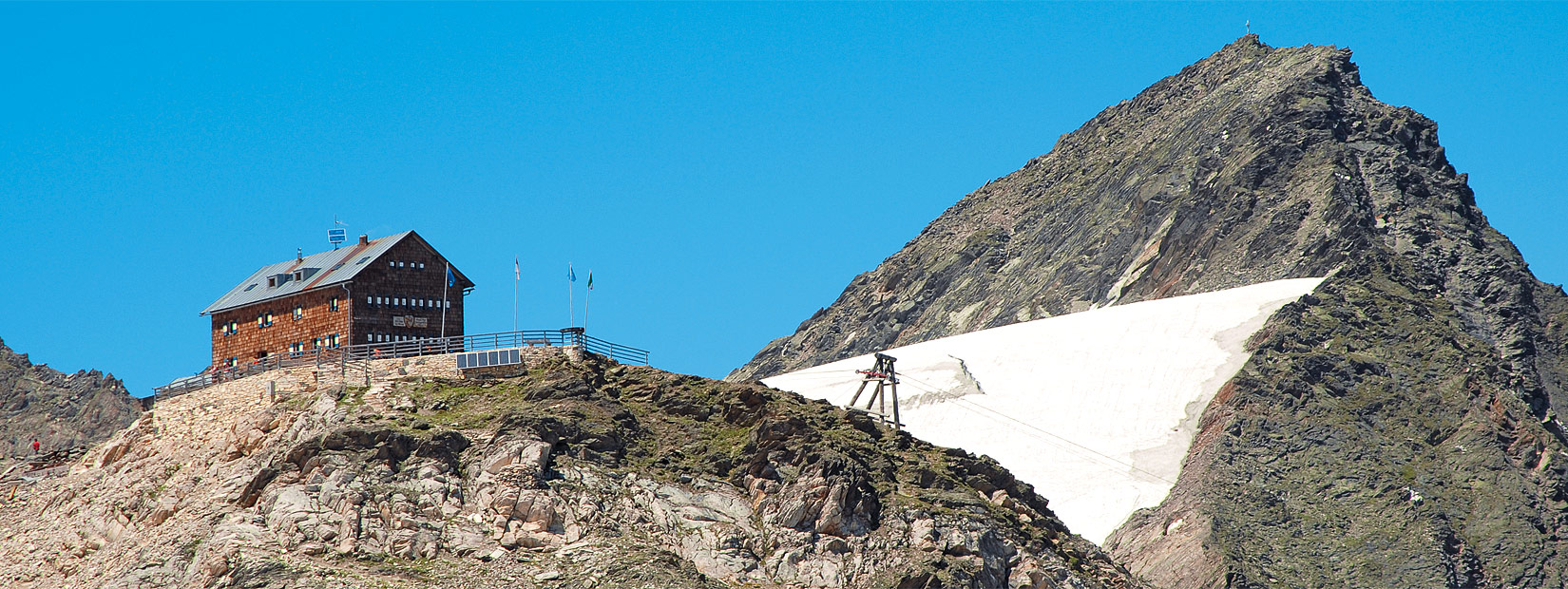
Take par into many hiking trips in the Tessa Group Natural Park (Italian: Parco Naturale del Gruppo del Tessa, German: Naturpark Texelgruppe) till the Sopranes lakes (Italian: Laghi di Sopranes, German: Spronser Seen), till the Imst- Kreuzjoch sheperds' hut and the thistles groups of Monte Tavolino (German: Sefiarspitze), till the highest mountain refuges (Zwickauer Refuge, Stettino refuge) located at 2500 meters of altitude. You can enjoy a robust snack accompanied by a glass of South Tyrolean red wine, with a wonderful sight on the mountains and our valley.
Lazins»

Schneidalm»
 Durata
 3:00 h
Distanza
7.2km
Dislivello
510 m
Altitudine Max
2132 m
Attraverso varia e fiorente flora alpina
Itinerario
A Plan – Pfelders (1628 m; strada
da Moso in Passiria – Moos in Passeier,
parcheggio) si prende il sentiero 6 A
che sale sul ripido versante erboso e
cespuglioso cosparso di sfasciumi,
conducendo in ore 1.30–2 all’alpe
(2159 m, con posto di ristoro). Percorso
raccomandato per il ritorno:
dalla malga si segue a ritroso il sentiero
6 A per breve tratto; al bivio si
svolta a destra (indicazione «Lazins»)
scendendo a zigzag, e poi traversando
con minor pendenza sul pendio
erboso, per raggiungere un piccolo
lariceto e l’ampia via soleggiata del
fondovalle (1770 m circa) che porta
alle case di Zeppichl (1676 m, albergo);
infine si torna su asfalto al punto
di partenza (ore 1.30 dalla malga).
Kolbenspitze»
 Duration
 6:30 h
Distance
13.1km
Altitude
1380 m
Max. height
2866 m
Reaching he 2865 m summit of Kolbenspitze requires some stamina, but it rewards walkers with a delightful panorama.
Directions
This rather challenging mountain hike starts at the Karlegger Hof car park above Ulfas. The route to Kolbenspitze is well signposted and marked No. 2 (on some maps still as No. 3a). The first few hundred meters are over flat, tarmacked ground towards Ulfas-Alm, then turn right slightly uphill through dense woodland and up to the pastures along Saldenbach. At around 2000 meters, a track branches off left to the upper Ulfas-Alm; however, follow the sign for Kolbenspitze. It now gets increasingly steep, there are fewer and fewer grassy areas and the tour increasingly resembles a high-altitude climb. At the very top the "Stoanmandl" – also marked on some maps – moves into view. But the way there is longer than it seems. Only upward of 2600 m will the route to the top seem within reach. Now follow No. 3 to Kolbenspitze. The final part of the ascent up to the summit cross at 2865 m is a beautiful experience, as is the panoramic view from the top – provided there is no fog rising up from the valley, which is quite common in this area.
For the descent, first follow the same route. At Stoanmandl it is decision time. If you are still feeling fit, sure-footed and can handle the heights, follow the route across the ridge described below. Otherwise follow the shorter, safer ascent route. Those prepared to risk the ridge should stay on No. 3 until just before the slope below Matatzspitze which offers wide views over Val Passiria and even Etsch valley as well as the many mountain ranges near the Austrian border. The path leading down to the valley is well signposted; you pass a derelict hut and reach the lower Ulfas-Alm which is serviced from May until October; from here briefly follow the Waalweg but after the first fence take the track on the left. This is a shortcut of the forest road which is slightly longer. Further down you reach a bridge to join the forest road back to the starting point.
Hohe Wilde»

Cima delle Anime»
 Duration
 8:30 h
Distance
12.7km
Altitude
1850 m
Max. height
3466 m
offering breathtaking views suitable for experienced mountaineers
Directions
From Plan – Pfelders (1,622 m, hotels; road from Moso – Moos in the upper Val Passiria) take route 6a. Walking up the steep slope on meadows and loose rocks we will reach the Schneidalm mountain hut (2,159 m, restaurant). Continuing on this long ascent will take us to the refuge (2,980 m, 4 hours; possible overnight stay). Following the red marks we will trudge up the east ridge, on rocky ground up to the summit (3,470 m, 1.5 hours). Return via the same route (4 hours).

